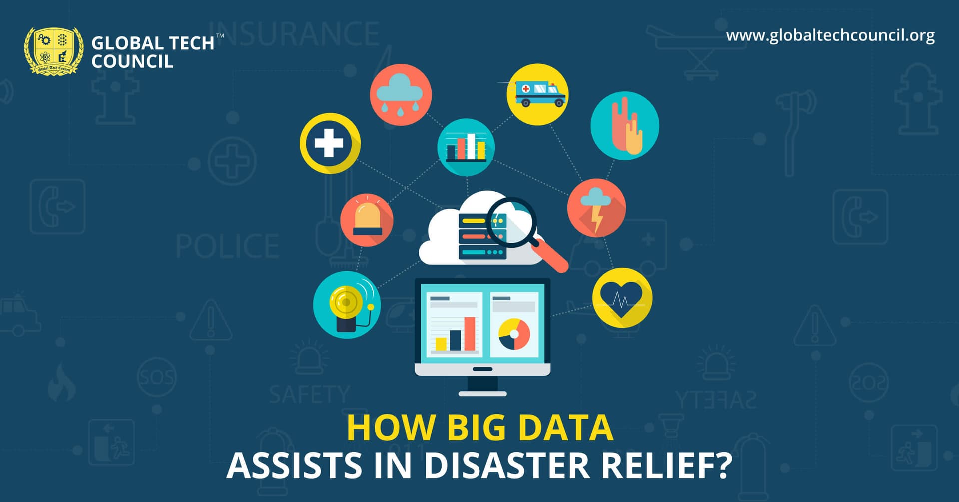
How Big Data Assists In Disaster Relief?
The disaster relief mechanism we are currently using is still ineffective in helping people and relieving their miseries. Take Hurricane Harvey for example. Even after releasing USD 15.3 billion for disaster relief and recovery, many people are still finding it hard to get up on their feet.
However, with the advent of so many technologies and related advancements, disaster management can become a lot easier than we think. Big data is surely one of these technologies that can help us prepare for disaster accordingly. For instance, algorithms and machine learning can be utilized to identify storm trajectory and the potential damage it can cause.
Let’s dive in and explore how big data can assist in disaster relief.
Big Data for Disaster Relief
During disaster relief operations, the help emergency agencies need to identify the situation and condition of the disaster struck area and big data helps in this. For instance, big data assists in identifying the number of elderly or areas where there are more children.
Here are some ways in which big data helps in disaster relief:
1. Crisis Mapping
A non-profit organization named Ushahidi of Nairobi made a platform for gathering information. During the Kenyan presidential election, the group collected information from various social media profiles and eyewitnesses and mapped it to Google Maps. It helped the citizens to stay away from danger zones. This was back in 2008.
In 2010, the same technology was again used for earthquake Haiti and it helped in saving many lives. Using big data for crisis mapping is extremely helpful in rescuing people and reuniting them with their families.
2. Emergency Alertness
Since big data can also help in forecasting of the occurrence of a disaster, it helps communities in staying alert and move to safe zones. This can protect a lot of people from potential threats. This is achieved by collecting data, modeling and analyzing it, and then spreading the information regarding disaster management.
Many advanced organizations such as Terra Seismic have the ability to use satellites for predicting an earthquake – that too with the accuracy of 90%. Weather agencies, on the other hand, track and analyze storm patterns. They can predict the areas which are more vulnerable to disaster and then, an evacuation plan is developed.
Back in 2016, at the time of Hurricane Matthew, The U.S. Geological Survey mounted sensors in a few areas to monitor heavy rain and storm. These sensors helped the department in collecting data which assisted in disaster relief. The information about damage and flooding was easily grabbed through these sensors.
3. Finding Victims
After the disaster, many people are separated from their families. Then, it is hard for them to find their way back or look for friends and families. When a similar situation occurred during earthquake Haiti, Google released its People Finder. The platform helped people update information about victims which assisted individuals to find their family members. At the time of the 2015’s Nepal earthquake, the platform received 5,300 updates in first 2 days only.
Conclusion
Big data can be used in various ways at the time of disaster relief. From disaster prediction and evacuation to connecting families and friends, everything becomes extremely easier with big data. In fact, the power of data that we are able to use today is just the smallest part of the big data’s potential. Many organizations are now finding a way of keeping citizens’ safe at the time of disaster. This will definitely have so many lives in the future.
Related Articles
View All
Big Data
From Big Data to Smart Data – The New Paradigm in 2025
The era of collecting endless volumes of data is fading fast. In 2025, organizations are realizing that more data doesn’t always mean better decisions. The real shift is from big data—raw, massive, and often messy—to smart data, which is cleaner, contextual, and ready for action. This new paradigm…

Big Data
How to Become a Big Data Expert?
Big Data experts are in high demand as organizations rely on data for decision-making. Big Data refers to vast structured and unstructured data with three Vs: volume, velocity, and variety. Key concepts include data processing, data mining, data warehousing, and structured vs. unstructured data.…

Big Data
Big Data role in powering the Internet of Things (IoT) Revolution
Big data and IoT are two widespread technologies that have high-value applications in various industries. Big data enables professionals to extract insights from a huge pool of data, and IoT streamlines the quick sharing of timely data across networks and devices. As per the Internet of Things…
Trending Articles
The Role of Blockchain in Ethical AI Development
How blockchain technology is being used to promote transparency and accountability in artificial intelligence systems.
AWS Career Roadmap
A step-by-step guide to building a successful career in Amazon Web Services cloud computing.
Top 5 DeFi Platforms
Explore the leading decentralized finance platforms and what makes each one unique in the evolving DeFi landscape.